
(Click on the icon or the chart name
to begin downloading - the file sizes are approximate)
(60k) (Map for terrain file wbtrn002.trn) (80k) GIF Version
(60k) (Map for terrain file wbtrn002.trn)
![]() Battle
of Britain Terrain Map (v2.0)
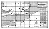
Battle
of Britain Terrain Map (v2.0)
B&W map of the WarBirds world showing airfields - altitudes and orientations,
mountain elevations, and target on one 8.5" x 14" (legal-size)
page.
Scaled for use with the WarBirds navigational aids.
![]() Battle
of Britain Terrain Map (v2.0) (split)
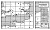
Battle
of Britain Terrain Map (v2.0) (split)
B&W map of the WarBirds world showing airfields - altitudes and orientations,
mountain elevations, and targets split across two 8.5" x 11" (letter-size)
pages.
(Use this file to print out a map to scale to match the MaxOverlays navigational
aids
if you don't have access to a larger sized printer.)

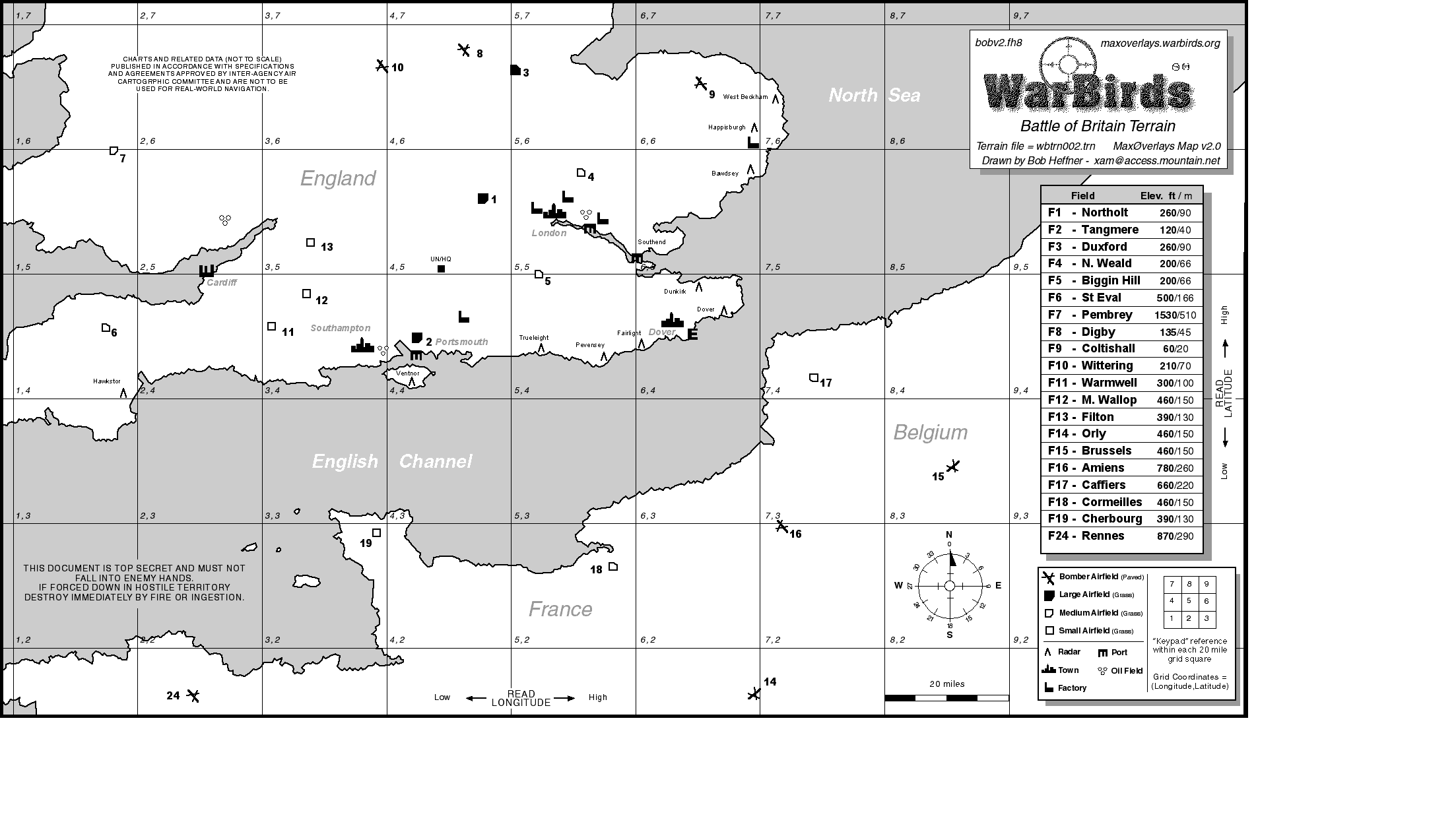
![]() Battle
of Britain Airfield Maps (v1.0)
Battle
of Britain Airfield Maps (v1.0)
(96k) (for terrain file wbtrn002.trn)
B&W map showing the Battle of Britain Terrain airfields and targets
in detail.
Technical manual size suitable for 3-ring binder. 6 pages